
Lawrence County, Ohio
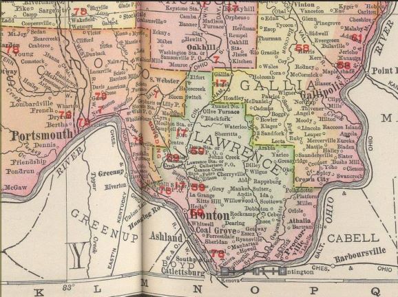
Explore the early history of Lawrence County, Ohio, through stories of its villages, communities, townships, and the people who helped shape the region during the nineteenth and twentieth centuries.
Located at the southernmost tip of Ohio, Lawrence County borders Kentucky and West Virginia along the Ohio River. Established in 1819, the county was formed from portions of Gallia and Scioto Counties. Early settlers arrived from Virginia, New England, and European countries, including Ireland, Germany, France, and Great Britain. Streams, creeks, and the Ohio River played important roles in transportation, settlement, and the development of local communities.
The growth of the iron furnace industry brought economic opportunities, attracting workers and encouraging the establishment of businesses, factories, housing, and new communities. Lawrence County's fourteen townships each preserve their own unique histories and connections to the region's early pioneers.
Discover the hardships, tragedies, accomplishments, and everyday lives of the people who called Lawrence County home. Explore our historical county map, learn about the county's early pioneers, and browse additional historical and genealogical resources throughout The Lawrence Register.
Search Lawrence County, Ohio Archives
Explore Lawrence County, Ohio Archives
Patents and Inventors
Patents & Inventors from Lawrence County Ohio Pioneers Wheeling Daily Intelligencer, 25 March 1856 pg 2 - The Commissioner of the Patent Office has...